
Published
The size of Fujiwara-kyō is still not settled. From a rectangle framed by ancient roads to a square 5.3 kilometres on each side, larger than Heijō-kyō: we trace how the reconstruction has grown with each excavation.
"Fujiwara-kyō" is a name given by scholars. The Nihon Shoki calls the capital "Aramashi no Miyako" (Shinyaku-kyō). Nor do written records say where the capital began and ended. Its extent can only be inferred from the roads found in excavations.

The first full reconstruction came from the historian Kishi Toshio. In the 1960s, as excavations ahead of road construction around Fujiwara Palace progressed, Kishi overlaid the roads that were found on the ancient roads that survive in the Nara Basin.
His area was bounded by the Yoko-ōji road to the north, the Naka-tsu-michi to the east, the Shimo-tsu-michi to the west and the Yamada Road to the south: about 2.1 kilometres east to west and 3.2 kilometres north to south. A rectangle, long from north to south.
The Naka-tsu-michi and Shimo-tsu-michi were ancient trunk roads running north–south through the basin; the Yoko-ōji and the Yamada Road ran east–west. The idea was that the capital was built inside a frame of roads that already existed.
Kishi divided this area into twelve jō north to south and eight bō east to west, each block about 265 metres on a side, applying to Fujiwara-kyō the jō and bō terms used later at Heijō-kyō.
This shape looks nothing like Tang Chang'an, which was wider than it was long. So Kishi questioned the old view that Chang'an had been the direct model, and considered whether Chinese capitals of other periods had served as references.
Later, however, roads built to the same standard as the city streets kept turning up outside the area Kishi had drawn.
In 1996, roads marking the eastern and western edges were confirmed one after the other in Sakurai City and Kashihara City. The distance between them was about 5.3 kilometres.
The western edge is the Dobashi site in Kashihara, the eastern the Kaminoshō site in Sakurai. At both, side ditches of roads with the same orientation and standard as the city streets were found, and the grid ended there. They are thought to be the roads that marked the edges of the capital.
Fujiwara-kyō was far larger than Kishi had proposed. Theories assuming this wider area are known collectively as the "Greater Fujiwara-kyō" theory.
To build so large a city, ancient tombs in the way were destroyed. The Nihon Shoki records that in 693 the office building the capital was ordered to rebury the remains dug up in the course of the work. At the Gojōno-Maruyama Tumulus in Kashihara, the corners of the front mound have been cut away, very likely when Fujiwara-kyō was laid out.

The leading reconstruction today is a square about 5.3 kilometres on a side, divided into ten jō and ten bō, with Fujiwara Palace at its centre. By area, it would be the largest capital of ancient Japan, bigger than the later Heijō-kyō or Heian-kyō.
The theory was put forward separately in the 1990s by Ozawa Tsuyoshi and Nakamura Taichi. Each bō is about 530 metres on a side, four times the area of a block in Kishi's plan.
Within this area, all three of the Three Mountains of Yamato, Mt. Kagu, Mt. Unebi and Mt. Miminashi, fall inside the capital. The palace sat in the middle, surrounded by the three mountains. Daikandai-ji and Moto-Yakushi-ji were temples within the city.
The streets, on the other hand, were surprisingly narrow. Fujiwara-kyō's Suzaku Avenue is put at a little over 20 metres wide. Heijō-kyō's Suzaku Avenue was about 74 metres, roughly three times as wide. A large capital with narrow streets is one of Fujiwara-kyō's features.
This shape, with the palace in the middle, differs greatly from Heijō-kyō and Heian-kyō, which put the palace at the northern edge. That difference sparked the debate over what Fujiwara-kyō was modelled on.
Even the ten-by-ten square is not settled. In places, such as where the city runs into hills, streets have not been confirmed.
At a lecture we attended on Fujiwara-kyō, the speaker made this point. A grid city can grow by adding blocks on the outside. For Gyeongju, the capital of Silla, one reconstruction has the city spreading blocks little by little around the Wolseong palace and growing without ever having a neat outline.
Fujiwara-kyō, too, took eighteen years from the start of work to the move, with halts and revisions of the plan along the way. The extent found in the end need not be the original plan. Inferring the design from the finished shape alone is risky, the speaker argued.
The roads that framed Kishi's plan can still be traced on a map. The Yamada Road passes in front of the Asuka Historical Museum and runs on through Iware to Sakurai. The Naka-tsu-michi and Shimo-tsu-michi were carried over into the streets of the later Heijō-kyō.
Kishi's extent has been revised, but his idea that ancient trunk roads served as the baseline for building capitals lives on. At Heijō-kyō, the Shimo-tsu-michi became Suzaku Avenue itself, and the Naka-tsu-michi became the avenue at the eastern edge (the Fourth Avenue East). The roads used at Fujiwara-kyō extended north to become the framework of the next capital.
From the Fujiwara Palace site to around the Yamada Road, which Kishi thought was the southern edge of the capital, is about a thirty-minute walk. Imagine the city continuing well beyond that, and you can feel how vast a square 5.3 kilometres on a side really was.
RELATED SPOT
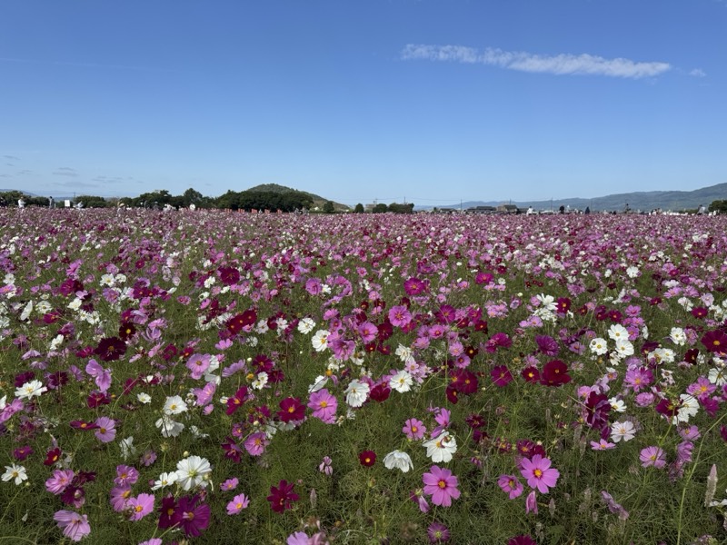
藤原宮跡
The heart of Japan's first full-scale planned capital, also known for its seasonal flower fields.
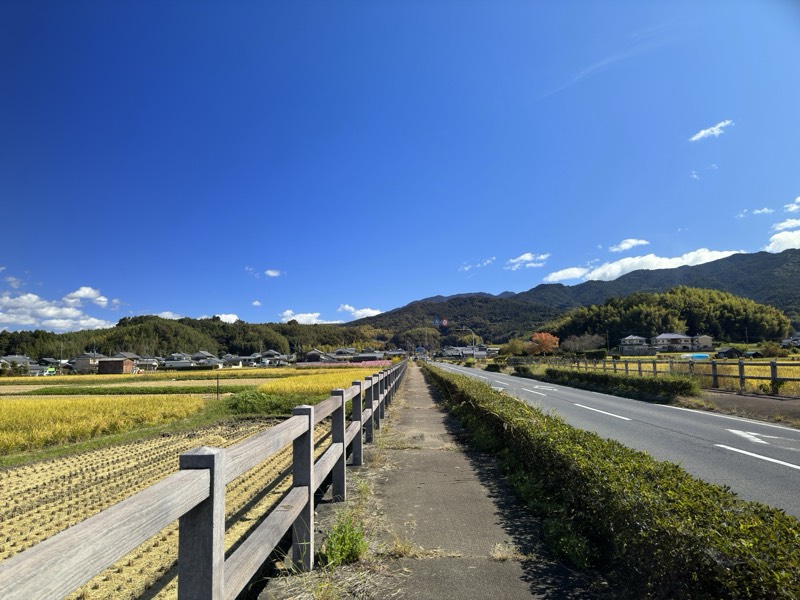
山田道
An ancient official road running east–west through Asuka. It welcomed envoys from Sui China and led to Yamada-dera Temple.
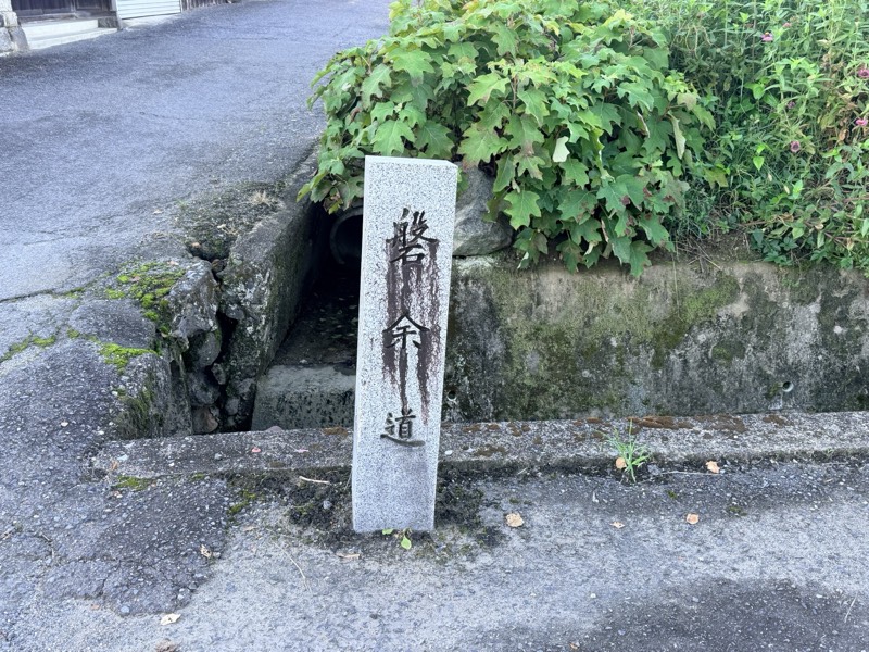
磐余道碑
A stone marker carved with the words "Iware Road," in the hand of the novelist Inoue Yasushi.
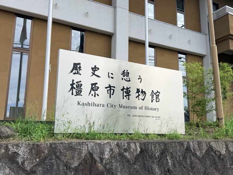
歴史に憩う橿原市博物館
A hands-on history museum right next to the Niizawa Senzuka kofun cluster.
RELATED COLUMN
Was Fujiwara-kyō a Confucian Capital? The City Without an Ancestral Temple or Altar of the LandFujiwara-kyō is widely thought to be a copy of the ideal capital described in the Confucian classic the Rites… Where Was the Palace Before Asuka? From Makimuku to IwareFrom Makimuku at the foot of Mt Miwa, by way of Iware, to Asuka: the seat of royal power moved south across a…
 What Did the White Robes Announce? Empress Jitō's Poem of Heavenly Mount KaguEmpress Jitō's poem about Mount Kagu begins "Spring has passed, and summer seems to have come." It is loved…