
Published
The Kamitsumichi, Nakatsumichi and Shimotsumichi roads run north–south about 2.1 km apart. Only after this ruler had been laid down were Fujiwara-kyō and Heijō-kyō designed.

Three roads run dead straight from north to south across the Nara basin. From east to west they are the Kamitsumichi (Upper Road), Nakatsumichi (Middle Road) and Shimotsumichi (Lower Road). They are thought to have been laid out in the 7th century.
The three are almost evenly spaced, about 2.1 km apart: four ri in the units of the time. These are not roads laid out by eye. They are lines that were measured and drawn.
From east to west runs the Yokoōji (Great Crossroad). Three roads north to south and the Yokoōji east to west: together they drew a great cross over the basin.
People tend to assume it happened the other way round: that the capital was built first and the roads extended out from it. That is not so.
Fujiwara-kyō was designed using the Shimotsumichi and the Yokoōji as its baselines. In other words, the city's blocks were laid out to fit straight lines that had already been drawn.
The same is true of Heijō-kyō. The Shimotsumichi became Suzaku Avenue, running through the centre of the capital, and the Nakatsumichi became Higashi-kyōgoku Avenue at its eastern edge. Lines drawn across open country were used as they were for the capital's skeleton.
Grid-patterned capitals like these are usually explained as copies of Chinese capitals. That is not wrong, but before copying anything, this country had already laid a ruler across its basin.
If the three north–south roads and the Yokoōji are the skeleton dividing up the basin, the roads leading out of Asuka are branches connecting to it.
Running east–west is the Yamadamichi. It runs south from Iware in Sakurai, passes through Asuka and comes out at Karu no Chimata, the junction with the Shimotsumichi. Because it passes Abe and Yamada it is also called the Abe-Yamadamichi, and it is said that in 608 the Sui envoy Pei Shiqing took this road on his way to the Oharida Palace.
To the south runs the Kiji, also called the Koseji, which goes down through the Kose valley to Kii Province. To Yoshino there is a road over Imo Pass; Prince Ōama is said to have crossed this pass too when he withdrew to Yoshino.
Ancient official roads did not avoid the terrain. Where there was a hill they cut through it, where there was a valley they built it up, to keep the line straight. It is not a design that makes walking easy.
They were made straight anyway because roads were infrastructure for speed. They linked the capital with the provinces, carrying envoys, armies and taxes. Keeping the distance as short as possible came first.
The roads were also wider than we might expect today, with ditches dug along both sides to keep rain from damaging the surface. They were structures designed on the assumption that they would be maintained, not simply built and left.
Most of these roads are not designated as national Historic Sites. Only a few places have been excavated as archaeological remains and laid out for visitors.
But they have not vanished. In Kashihara City, the Yokoōji, Shimotsumichi and Abe-Yamadamichi still survive as roads. In Asuka Village, the prefectural road that passes between the Ishigami site and the Asuka Mizuochi site follows the line of the Yamadamichi.
Cars now drive along lines drawn 1,400 years ago. The Japan Heritage story "The Dawn of the Nation of Japan" includes the Yokoōji, Shimotsumichi, Nakatsumichi, Yamadamichi and Kiji among its components. Another Japan Heritage story, "Japan's Oldest National Road," covers the Kamitsumichi along with the Takenouchi Kaidō and the Yokoōji. It is a way of seeing that counts the roads themselves as cultural heritage.
If you only walk around inside Asuka, you will rarely be aware of the roads. Temples, kofun (ancient burial mounds) and stone monuments are what you come to see.
But go out to the north of the village and stand on the line of the Yamadamichi, and the view changes. Ahead along the road running straight between the fields lies Yamada-dera Temple in Sakurai; in the other direction lies Karu in Kashihara. Places you have visited as separate points become joined by a line.
RELATED SPOT
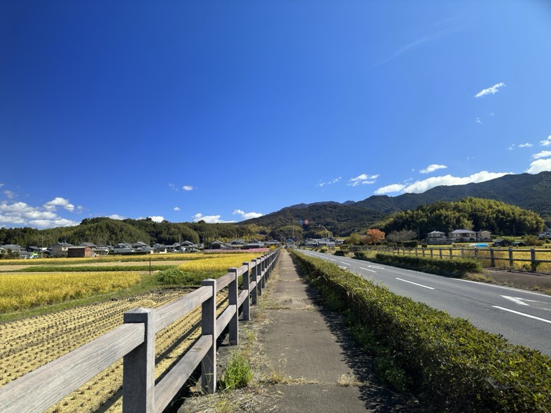
山田道
An ancient official road running east–west through Asuka. It welcomed envoys from Sui China and led to Yamada-dera Temple.
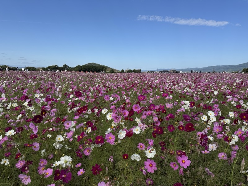
藤原宮跡
The heart of Japan's first full-scale planned capital, also known for its seasonal flower fields.
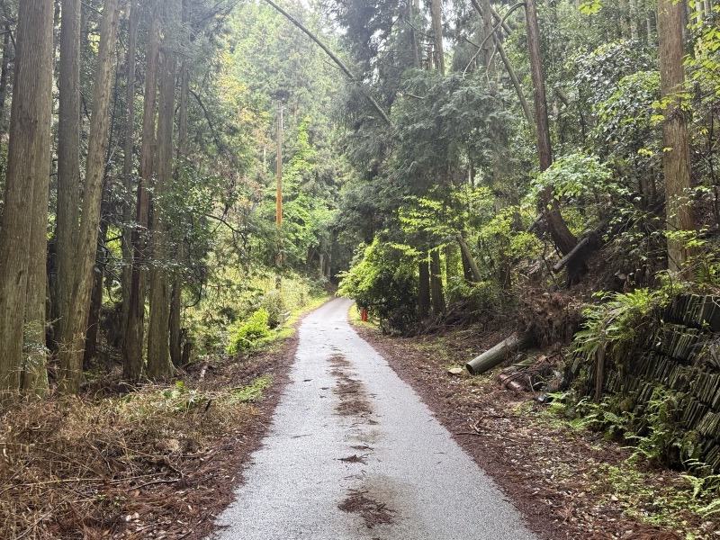
芋峠
A pass on the old road linking Asuka and Yoshino. Prince Ōama is said to have crossed it.
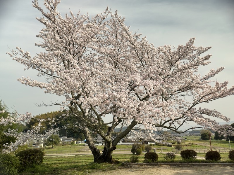
飛鳥川
The river that runs through the village, sung of in the Man'yōshū.
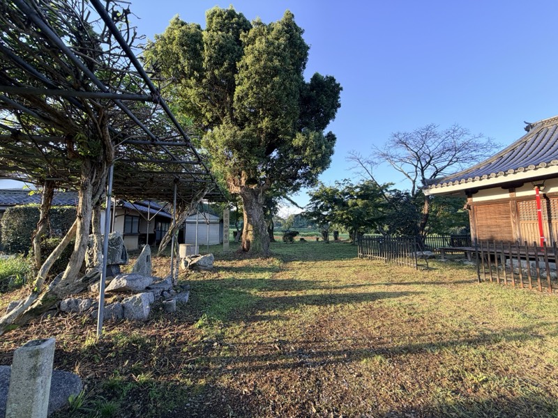
山田寺跡
A temple site where a corridor was excavated just as it had collapsed and been buried.
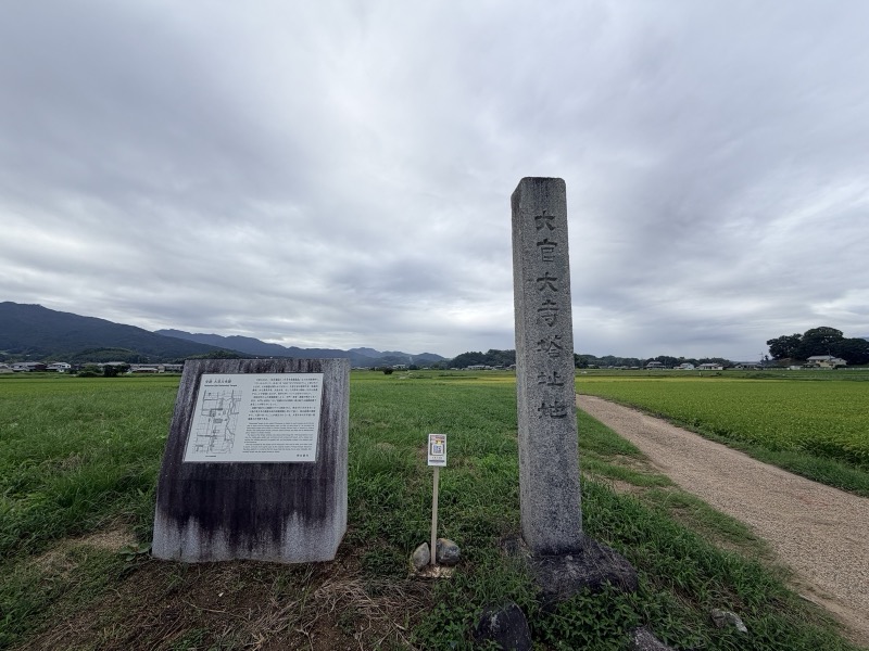
大官大寺跡
The site of the largest state temple of Asuka-Fujiwara, once crowned by a nine-storey pagoda.
RELATED COLUMN
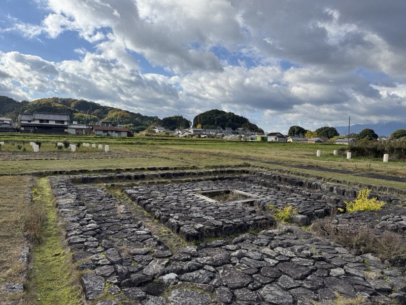 Asuka-Fujiwara World Heritage: All 19 Component Sites and How to Visit Them, with Half-Day, One-Day and Two-Day Routes"Asuka-Fujiwara" was inscribed on the World Heritage List in 2026. We list all 19 component sites with their…
 Where Was the Palace Before Asuka? From Makimuku to IwareFrom Makimuku at the foot of Mt Miwa, by way of Iware, to Asuka: the seat of royal power moved south across a…Soga no Kura-no-Yamada no Ishikawamaro: The Soga Who Sided Against the SogaBorn into the branch of the Soga clan that kept its storehouses, he joined the side that killed Iruka, and…